Identity and history
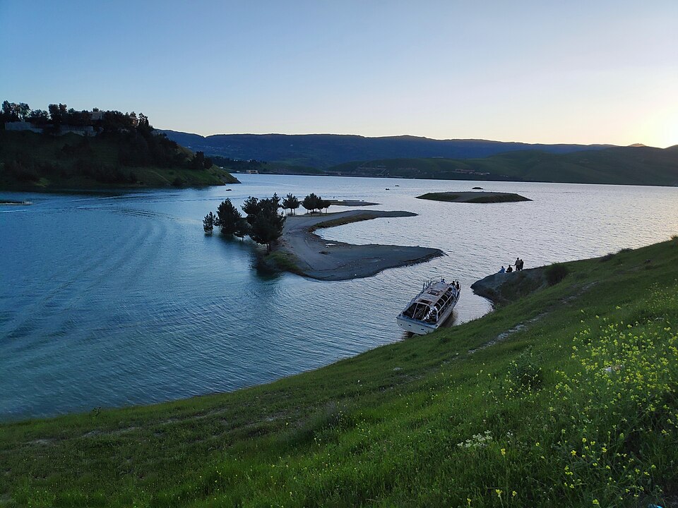
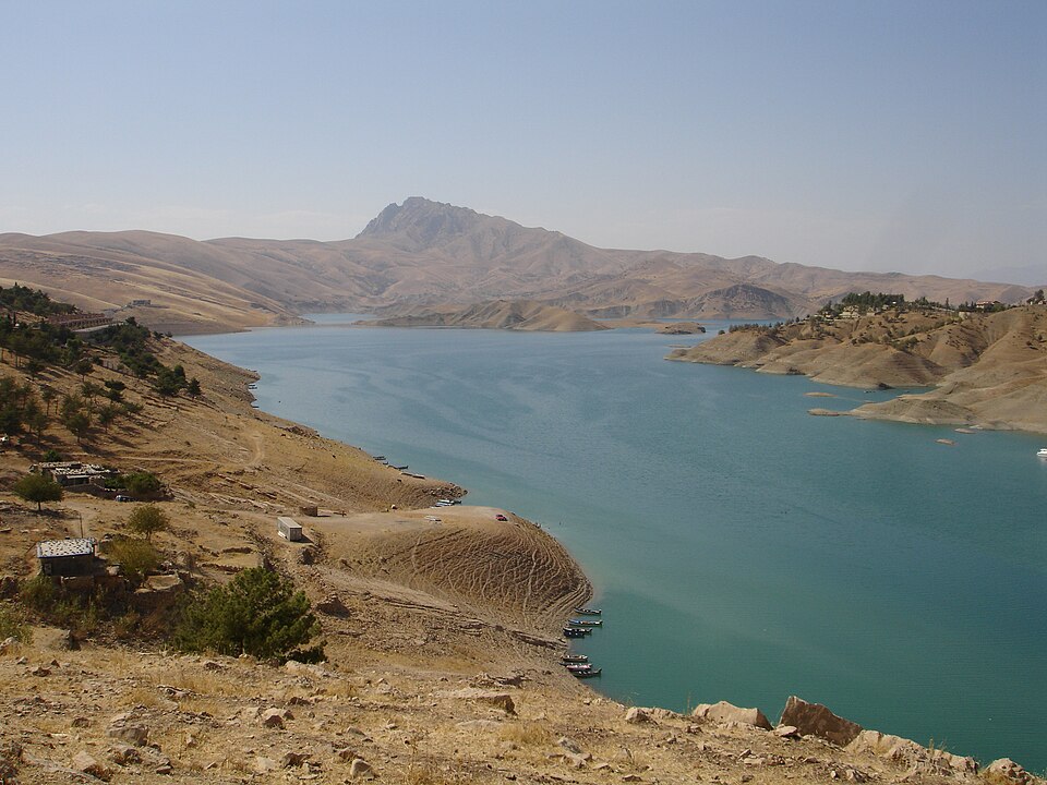
Dukan Lake lies outside Sulaymaniyah and relates to the Little Zab reservoir and infrastructure. Mountain, water and shore form a regional landscape rather than an urban-centre site. Power, irrigation and management complement but do not replace landscape interpretation.
Sources & licences · 1
- Coverage
- Cited background claims only; evidence/captures.json records capture method and limitations
- Source publication date
- —
- Source read date
- 2026-10-13
- Last content verification
- 2026-10-12T16:58:59.171848+00:00
- Content revision
- 1366207667 2026-07-26T21:34:06Z
- Licence
- CC BY-SA 4.0
Author historyLocal and cultural context
Lake Dukan is the reservoir formed by Dukan Dam on the Lesser Zab, near Ranya in Sulaymaniyah Governorate. It is a surrounding-area geographical entry. The dam supports water storage, irrigation and hydropower. Archaeological work before inundation documented earlier settlement. Lakeside services, roads and water levels require separate verification.
Sources & licences · 1
- Coverage
- Cited background claims only; evidence/captures.json records capture method and limitations
- Source publication date
- —
- Source read date
- 2026-10-13
- Last content verification
- 2026-10-12T16:58:59.171848+00:00
- Content revision
- 1366207667 2026-07-26T21:34:06Z
- Licence
- CC BY-SA 4.0
Author history