Identity and history
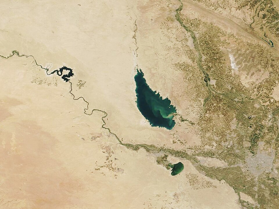
Lake Tharthar is a large reservoir in the surrounding region, connected with water engineering and arid conditions. It is not an urban lake beside Malwiya. Water, shores and diversion infrastructure are complementary subjects; area and volume need dated records rather than estimates from photographs.
Sources & licences · 1
- Coverage
- Cited background claims only; evidence/captures.json records capture method and limitations
- Source publication date
- —
- Source read date
- 2026-10-13
- Last content verification
- 2026-10-12T16:58:59.172129+00:00
- Content revision
- 1366281048 2026-07-27T04:03:01Z
- Licence
- CC BY-SA 4.0
Author historyLocal and cultural context
Lake Tharthar lies between the Tigris and Euphrates and is an artificial lake created in the twentieth century. This product groups it with Samarra’s surrounding waterways, rather than city-centre attractions. That editorial grouping is not a verified travel itinerary. Entrances, roads, water levels and activity restrictions still require confirmation.
Sources & licences · 1
- Coverage
- Cited background claims only; evidence/captures.json records capture method and limitations
- Source publication date
- —
- Source read date
- 2026-10-13
- Last content verification
- 2026-10-12T16:58:59.172129+00:00
- Content revision
- 1366281048 2026-07-27T04:03:01Z
- Licence
- CC BY-SA 4.0
Author history